Sunday 19 June 2016

2nd Friday – A Stirling day

Over breakfast this morning I chatted with Carolanne’s husband, Graeme, who has retired from a career in QA and now helps run the B&B. We talked a bit about the upcoming referendum for whether the UK should leave or stay in the European Union (“Brexit”), and it sounds like most Scots are keen to stay in the EU. That certainly concurs with what I mostly heard in Ireland too – including the Republic, where they’re concerned that they might end up with border controls etc again if Northern Ireland is no longer part of the EU, while the Republic of course is in it. Polling seems to suggest though that the vote will be reasonably split, so I guess there must be a strong ‘Leave’ contingent in England.
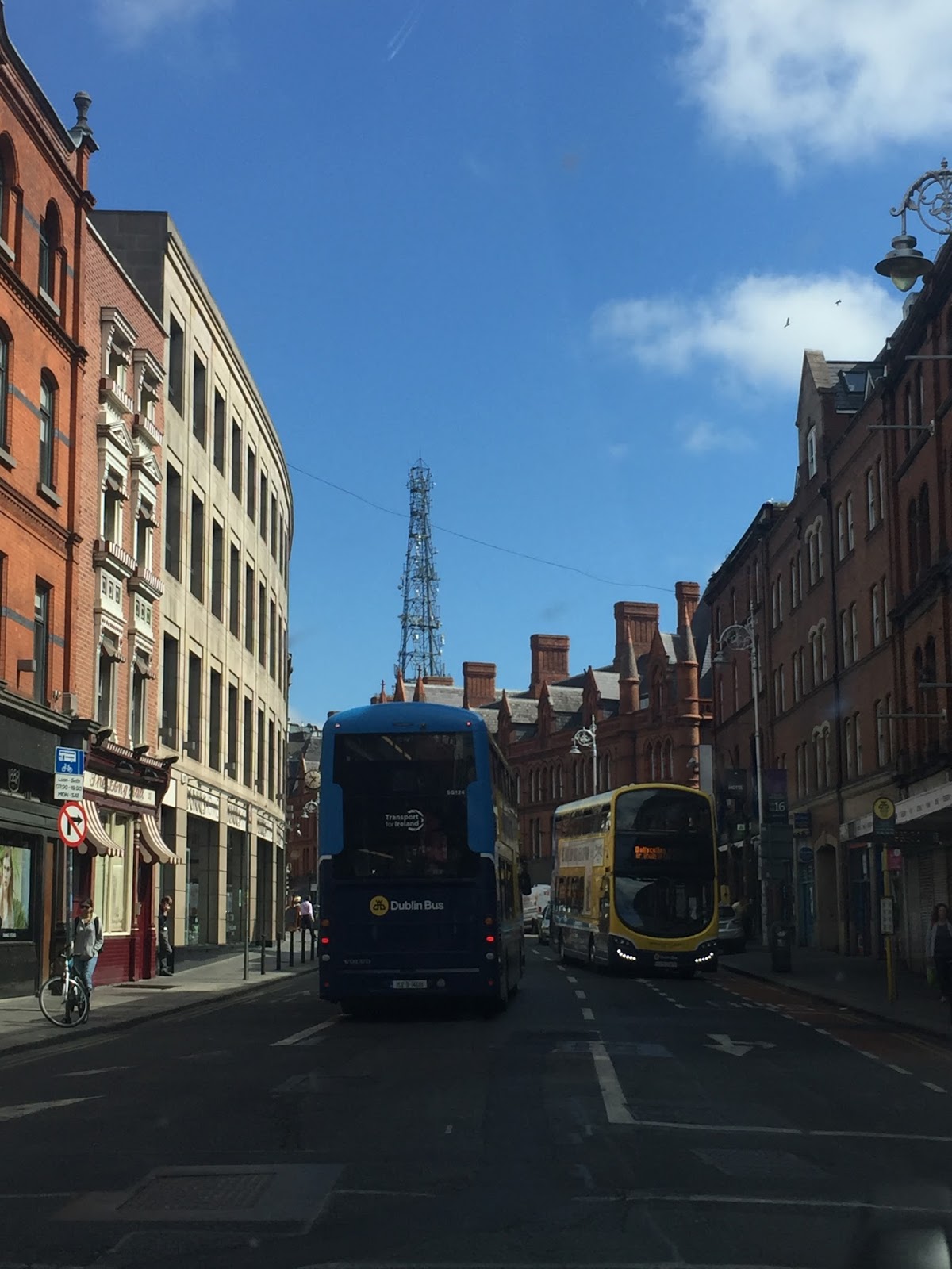
Just funny
We left Troon for Stirling, via Dalry where my dad’s maternal grandfather was born. Dalry was another place I ended up driving round in circles (and in and out of town a couple of times) trying to find somewhere to park. In the end we gave up and took photos out the car windows. Sorry to say the highlight of Dalry was seeing a squirrel run across the road and through someone’s section (as we went up a little suburban street to do yet another U-turn).


Balfour Street, Port Glasgow
We stopped in Port Glasgow, where Charles and William Jnr were living in Balfour Street at the time of the 1841 census, aged about 27 and 20 respectively. These were the two eldest sons of William (Charles being the one whose line we’re from), both of whom were also civil engineers! This was during the time of William’s tenure as engineer to the Clyde River Trust in Glasgow, so I suspect the sons were there at the Port helping him, by taking tide measurements and the like.
Balfour Street is still there, but number 34 is just one end of an apartment block now. At least the railway goes through right next door - I think they'd have liked that!

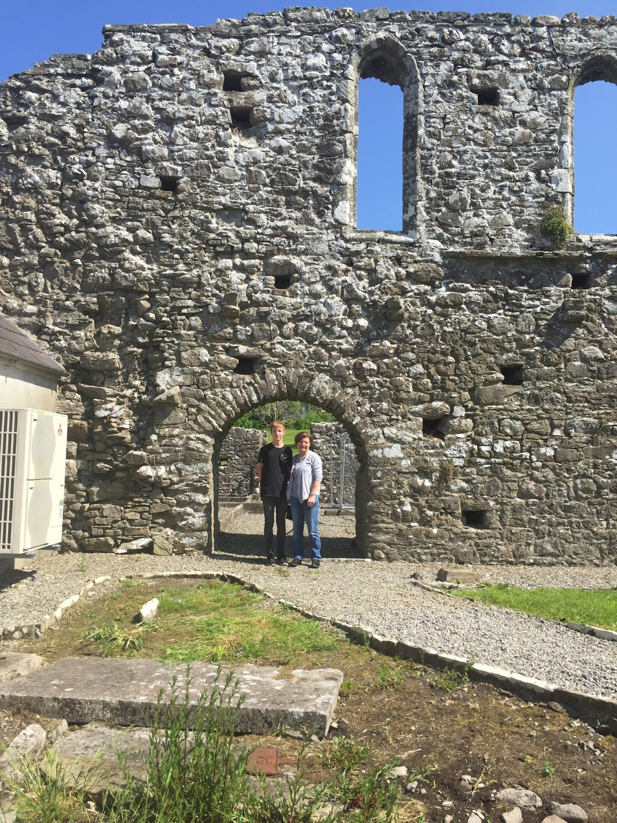
Ghosts of engineers past?
Port Glasgow is a funny wee town, which seemed to have a very eclectic mix of shops. We went to a hardware shop to buy a phone charging cord, and were greeted by a friendly turbanned Indian proprietor, and his cutesy dog walking up and down the counter. We found a Subway (which prepared the “Levi special” – salami, cheese, gherkins jalapenos olives, BBQ sauce – with barely a raised eyebrow) inside a superette, along with a post shop, but couldn’t find anywhere that looked like it might sell t-shirts.


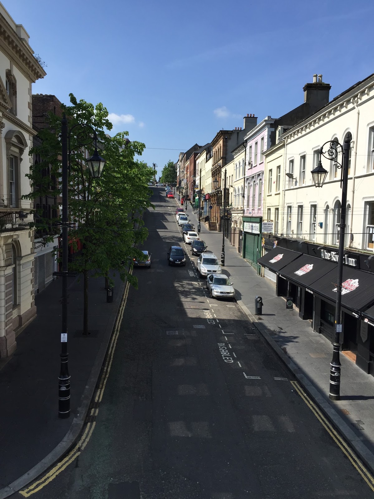
As close as we got to the Wallace Monument
Late in the day – too late to go to any more attractions – we arrived in Stirling, where our accommodation for the night is Dunard B&B, in a lovely house on the lovely (and attractively named) Causewayhead Road, with lovely hosts. In the evening they lit a fire in the guests’ lounge at the front of the house, and it was really nice to sit on the sofa by the open fire (catching up on this blog!) rather than just stay holed up in our room. Also had an interesting chat about IT roles and organisations with the husband, who is a programmer in the GIS team at Scotland’s Environmental Protection Agency. (They have Business Analysts in the business groups, and Systems Analysts in the IT group; those two roles form the interface between business and technology for development projects. No architects, and no project managers!)

2nd Thursday – Back to Scotland!

We had a fairly leisurely morning, a last breakfast at the Premier Inn Cathedral Quarter, then hopped in a taxi bound for the Stena Line ferry terminal at the Belfast port, 10 minutes away. There’s really not much to say about the ferry trip across to Scotland – the boat was big and fast, there are good facilities on board, and the trip was super smooth. Levi watched a movie while I spent the couple of hours catching up on a work thing I should have done before I left.
Bye bye Belfast
Hello Loch Ryan - about where Dad caught lots of mackerel one time!


When we arrived at the Cairnryan ferry terminal in Scotland we picked up our bags off the carousel, and went through security to the main terminal area. When I say security, I mean we just walked out the door. There were some uniformed bods floating around (at an airport it’s “airside”, presumably at a ferry terminal it’s “waterside”?), and they stopped the odd person to ask where they were from, what they were doing in Scotland – but it really was remarkably low key. Off to the Hertz desk to get our new rental car, where we had a good giggle at the attendant’s story about a mishap she’d had once involving a bull falling on her car. Yes that’s right! Once upon a time, a few years ago but not far away, she was driving along a lane just minding her own business… when suddenly a great big (and obviously rather clumsy) bull fell off the raised verge and landed straight on the bonnet of her car! That’s ridiculous enough, you’d think – and the car was a write-off – but what really took the cake was that the farmer then proceeded to sue her for loss of the bull!

Anyway, well insured as it is, our new rental car is horrible. It’s a Ford C-Max compact MPV. It has more boot-space than the Hyundai iX35 we had in Ireland, but that’s about the only positive thing I can say about it. I can’t get the seat adjusted to feel comfortable, I’m either too far from the pedals or too close to the steering wheel, and I can’t seem to ever find the best gear to be in. Just nasty. (And over the next few days, while I got used to it, I never grew to feel comfortable let alone like it.)
Leaving Cairnryan we drove up the Ayrshire coast, on our way to tonight’s B&B. My impression of driving on Scottish roads is that they are on balance better than in Ireland – better condition, and a bit wider – but the thing that really gets me is that the road markings in towns (and it turns out in cities too) are very worn. They’re very bitsy, often almost disappeared altogether, and really provide only the vaguest indication of lane boundaries and give way lines etc. Another thing I’ve struggled with is that they paint a line across the entry to a street, not just a line to show where to stop to turn out of the street – so I keep on thinking I’m entering a one-way street in the wrong direction. Most disconcerting.

But the nicest thing… every little village and town up the coast has a “come back soon” sign on the way out, but it’s written so quaintly in Scottish: “Haste ye back”. Love it.

The scenery up the coast is lovely; the farmland is attractive, but it’s the seaward views that are really appealing – across to some of the islands off the west coast of Scotland, as well as all the way back to Ireland and the Antrim Coast. The islands must make the waters quite sheltered, and we saw a few yachts out – and of course we’ve got another gorgeous day of beautiful weather.

Our main stop on the way up the coast was Culzean (said “Killane”) Castle, which was fabulous. There was a lovely winding drive through the estate down to the castle and associated buildings, and although based on the number of cars in the carpark it’s a busy tourist attraction, it didn’t feel very busy. The pedestrian entry to the grounds of the castle proper is through a great stone arch (apparently deliberately made a little unfinished-looking to add romance, a staffer told us) and across a bridge into a small plaza.


The first room we went into was the armoury – not a bunker, but a sort of drawing room or similar, with all the walls lined with hundreds of flintlock pistols and swords and bayonets arranged in different patterns. A couple of rooms further on we came to the grand oval staircase, which took us to many more very grand rooms, beautifully decorated and furnished, and with magnificent sea and coast views. The castle is really in a tremendous position. Downstairs we saw the kitchens, and got a strong sense of the “upstairs, downstairs” lives that the different residents must have had.

It's just a lid!
One cute touch through the castle, to help keep younger visitors engaged, was that there is a little Lego man hiding somewhere in every room. (You reckon you got them all, Levi, but that one in the dining room was definitely just a lid on a vase… It was the lid!)

The other cool thing (‘scuse the pun) we looked at was the castle’s ice house, an egg-shaped chamber built in under the bridge to the castle. In winter they would take ice from the pond and pack it into the ice house, which was shaped to help the ice last longer and also lined with straw for extra insulation. The ice was used to preserve meats and other perishables (nicer than salting), but also used directly in drinks and food…frozen pond water, eww yuck!

After looking at the castle and the ice house, Levi and I went for a walk through some of the estate grounds - and seeing a pheasant on the path and some deer in a fenced-in woodland area, it was quite charming.


Bargany House B&B in Troon where we’re staying tonight is in a great spot right on the shore of the Firth of Clyde/Troon bay. I asked the B&B owner, Carolanne, if people swim in the bay (I imagine it would be pretty cold for a lot of the year), and she said yes indeed they do. She is a long-distance swimmer, and has used it for training – although she said you could just about walk right across, it only gets to about chest-deep.

For dinner tonight we went to a restaurant in Troon, which was busy and had a decent menu, but the most notable thing was the G&T menu - pretty impressive!

Monday 13 June 2016

2nd Wednesday – Back to Belfast

So apparently this is a bona fide heatwave for Ireland – 3+ days getting up to 20-ish degrees. Many, many people have said they haven’t seen a spell of weather this good literally for years. (I don’t know how Ireland is so green, since it never seems to rain… hehehe. The only time I’ve used wipers in the car was on intermittent for a short period on Sunday – well, ahem, that is apart from the occasional lapse when I meant to turn the blinkers on.)

This morning we drove straight across Dublin, rather than taking the ring road, as it was our only chance to see a bit of the city as we left it. (Besides which, arriving into Dublin and on to the ring road last night I was reminded of Auckland, hitting real traffic for the first time over here, so decided it was best avoided.) Overriding impression driving through was of the large number of buses on the roads. Other than that Dublin looks like a nice city, and I’d like to come back and spend a bit of time here. I had planned to swing by a couple of churches that the Bald family attended – a Catholic church where some of the children were baptised in the 1830s, and a Church of Ireland where William and 3rd wife Margaret McGreevy got married. (Yes, the same Margaret McGreevy who was also married to William by the parish priest in Islandeady (of the silent d), a couple of days later. It seems William was somewhat adaptable in his choice of religious belief.) However we ran out of time to do that, so settled for driving along Aungier St in central Dublin where g-g-grandfather Charles (William’s eldest son) and his wife Harriet lived for a time.

We detoured off the main highway for breakfast in Drogheda (said “Dro-he-da”), where William Bald worked on some harbour improvements. Unfortunately this was another town where the layout and the parking defeated me, so we drove round in circles for a bit (this will be a recurring theme, you’ll find) and ended up going through the Maccas drivethrough (happily, this is not a recurring theme). We didn’t go right into the centre of Drogheda, but from across the river (along a stretch of road which we traversed no less than 4 times) it appears to be a very old and attractive town which would be worthy of more exploration.


Once again from Dublin to Belfast the highway was fairly featureless most of the way - apart from the odd amusing placename...e.g. in photo 3 above. The highlight of today’s road trip… I saw a badger! Unfortunately it was dead on the roadside :’-(  The second most exciting bit was crossing back into Northern Ireland – got tricked by the change in speed measurements, drove for a few minutes at 60 km/h (thinking gee, this is slow for a good road like this) before I realised the units had changed to miles per hour, duh.

Finally when we got to about 80km from Belfast, hooray, some landscape features! It sounds sort of inane to say it now, but the change was really quite noticeable, to the extent that at the time I commented out loud (to myself of course; Levi was buried in a book as usual).


We dropped the tractor car off at the airport, taxied into the city and checked back in at the Premier Inn, then went and had a late lunch with Chris and Gavin. They’ve been looking at the film, checking whether there’s anything else they want from us before we leave the country, but they said they’re happy with what they’ve got. Apparently all up they’ve got around 25 hours of footage that has to be edited down to 90 minutes (3x half hour episodes), which they’re aiming to deliver to the BBC ready for broadcast by the end of the northern summer. It sounds like that might be a bit optimistic though – Gavin said he thinks they’d be doing pretty well to get it completed by September. It’s highly unlikely to get broadcast in NZ, but they’ve promised DVDs :-)

2nd Tuesday - Across (to) the generations

This morning we farewelled Doogarry House and made for the Castlebar library. I found the Castlebar town centre quite difficult to navigate, as the street layout seems to include squares and triangles, plus there’s a park area near the middle, and a one-way system. Anyway after a couple of haphazard circuits we found our way to the parking near the library, and went in.

I’d emailed in advance to let Ivor Hamrock in the library’s local history department know we were coming, and he had prepared by getting out William Bald’s maps and printing off some parts of papers about William’s work. The library has an unframed print of the same bogs map we saw at Westport House; apparently someone picked it up for twenty pounds at a car boot sale, and sold it on to the library for a tidy profit! I asked to photograph it, and Ivor carried it very gingerly over to a table – remarkably it’s still in pretty good nick for something that would have been printed circa 1812.

The library’s hard copy of Bald’s “Map of the maritime county of Mayo” is a set of 5 laminated sheets (the original was in 25 sheets), reprinted in 1989 by a company called Phoenix Maps (now defunct, I believe).

It’s not clear what inspired Phoenix to make the prints, but when I asked “what did they print them from?” we found on the bottom of a sheet the inscription “Reproduced from originals made available by the Neptune Gallery, Dublin, purveyors of fine Antique Maps and Prints”. I don’t know whether Neptune has manuscript maps or original prints, or even if they still have them as part of their collection, and there’s not enough time to visit them while I’m here, but it’s a lead I’ll follow up once home (and once this damn blog is done and dusted!).

One of the most interesting things about the Mayo maps – aside from the detailed mapping of buildings and the general quality and artistry of the maps – is that they include thousands of place-names, many of them not recorded in the Ordnance Survey a couple of decades later. Apparently the Bald maps are consulted quite a lot by people doing genealogical research, when they know the name of the place their ancestors lived but the place-name has changed or fallen out of usage. Finding the place on an old map allows them to figure out the modern name for the locale or parish, which helps in seeking records or confirming family linkages.

This photo is of a very small part - you can view the entire map here: http://www.mayolibrary.ie/maptool/#M10C-9.42604!53.90792Z9F1* 


Just before we left, Ivor told me about another of William’s local works that he’d stumbled across while researching Lord Lucan, the local landowner: in the middle of the town, just opposite the library there’s a park area known locally as The Mall, bordered by stone bollards linked by chains. This fence – and Ivor assured me it’s this same fence that’s there today – was erected by William in the 1820s, in response to Lord Lucan telling him to “do something about that swamp”!

Felt a bit sad leaving Castlebar – I could easily have spent quite a few more days poking around the town and nearby areas, and getting a better feel for the place. But it was time to go to Dublin – via Galway to meet retired forensic and litigation engineer Paul Duffy.

Paul is mentioned on the Burntisland website as having given a lecture about Bald’s map of Mayo in 2007. I decided a couple of days back that I should try to get in touch with him. I’m so glad I did! It turns out he’s done much more than given a lecture; he’s actually been interested in William Bald’s work for around 30 years! Paul worked in roading and water for the Galway County Council, and kept coming across William’s name in documents relating to both. As he dug more, he developed a very strong sense of William’s work ethic, meticulous attention to detail, and unwillingness to modify his designs or cost estimates in order to kowtow to patrons. Paul said several times that he hopes we realise what an illustrious ancestor we have.

Once we left Paul's place we hit the road for Dublin - a long, featureless drive straight across the middle of the island, motorway all the way. (Ireland was described to me as being like a saucer - flat in the middle with all its hills/mountains generally round the perimeter - easy drive across the middle, but boring.)

Tonight in Dublin we had the pleasure of dinner with Leanor, another descendant of William Bald, and her husband Ronnie. Leanor’s great-grandmother was William’s daughter Margaret, by his second wife Matilda - by my calculation, that makes us half- third-cousins once removed.

                   William
       (Anne)  /     \ (Matilda)
                    /       \
            Charles  Margaret
                 /              \
          Francis          Oscar
              /                       \
      Vincent                 Phyllis
           /                               \
Peter/Brag/Jen             Leanor
       /
Andrea etc


It was really neat to meet Leanor and Ronnie, and they were great company – thank you again for the dinner, and the lift home.

“Home” for the night is St Aiden’s Guest House, a red brick Victorian terrace in a leafy area on Dublin’s south side – very nice.

Friday 3 June 2016

2nd Monday – Straide, Islandeady, Westport, Croagh Patrick

Another lovely day – I wish I’d brought more t-shirts rather than warm tops, could even do with shorts today!

After a very nice breakfast at Doogarry House, our B&B just out of Castlebar town, it was off to Straide Abbey and the Michael Davitt museum to see great-great-great-granny Anne Bald’s grave. Big thanks to Yvonne and her ladies at the museum, who showed us to the grave (with a little help from the photo on burntisland.net), took photos of us there, and found the transcript of the epitaph. The grave itself just looks like a slab of stone now; you need to look from an angle even to see that there were once words on it, so it’s great that they captured most of it a few years ago (in a project to transcribe all the graves they could, before they deteriorated further).


We are pretty sure the transcription is not quite right: it says she died in 1825, but we know William married again in 1823, so it’s fairly safe to say Anne would have died before that. It also says she was 26 years old, which poses a bit of a mystery – we know she married William in 1810, so if she really was 26 it’s likely she died in 1820, which would make her 16 when she married…seems reasonable. But the bit that doesn’t add up in that case is William waiting 3 years before marrying again, which would seem unlikely for the time, when he had 3 young children to be cared for. My guess is that Anne died in 1822/23 aged 28.
I asked why Anne would have been buried at Straide Abbey, and the museum staff said she was most likely from the area. We spoke to the parish priest to see if the church still holds any records (e.g. births or marriages), but he said he has nothing, and to try the BMD registry in town. (Which I did, but they have nothing earlier than 1864, so that was a dead end for finding more about Anne.)

Then I tried to track down another priest, the one from Islandeady (“Eye-lin-aid-y” – I struggle to say that right, just can’t get the hang of a silent d!). This is because William and his 3rd wife Margaret McGreevy were married by the Islandeady P.P (in 1842), so I wanted to check whether this church has any records which might have any more snippets of information. The P.P. was out for the day, but I got his email address from a notice in the church foyer, so I’ll get in touch with him later.

Once my religious efforts had proved futile, we went off to Westport, a coastal town 20-odd km from Castlebar. We drove just beyond the town centre to the port, and to Westport House, the estate of the Marquess of Sligo (aka several generations of Mr Brownes). The house is open to the public, and they also have a whole lot of stuff going on around the estate, presumably to try to stay solvent (I gather the family has run out of money, and the house is on the market) – so there’s big plastic swan boat things in the pond, airsoft games in the woods, and go karts and ziplines and zorbing and all manner of semi-adventure activities available (a shame, really out of keeping with the grandness of the house). I’d read somewhere that Westport House had a partial print of one of William’s maps, so I asked the guy on the entry desk whether he was aware of any maps, but he wasn’t. We paid up to have a look around (actually, PR/Helpdesk guy was quite amused by Levi, so he let him in free), and began to wander round. The Browne family are descended from Grace (Grainne) O’Malley, a 16th century clan chieftain and shipping magnate (!), and Westport House is built on top of the ruins of one of her forts.
The house is quite magnificent...
 ...and the dungeons were pretty cool too!


The coolest thing though, was walking down a flight of stairs and sure enough coming upon a framed print… “Plate XIV MAP of the BOGS Lying in the South West part of the Count of MAYO, whose Waters discharge themselves into Clew Bay, Killery Harbour & Lough Mast with the Lines of Levels & Drains for the Commifsioners appointed to enquire into the Nature & Extent of the Bogs in IRELAND And the Practicability of Draining & Improving them BY WILLIAM BALD, ENGINEER. 1812.” Awesome!


We had lunch in Westport, a very pretty little town, then final stop for the day was at the foot of Croagh Patrick at Murrisk, another 8km on from Westport. Croagh Patrick is 762m barren, rocky hill, the climbing of which seems to be one of the principal tourist attractions in the Castlebar area. It’s a place of pilgrimage, as there’s a chapel at the summit – seems to me to be poorly placed, surely you’d have it at the bottom as a place of prayer that you’ll make it to the top! Our pilgrimage only went as far as the St Patrick statue just above the visitor centre, but even from just that elevation the views out over Clare and Achill Islands were fantastic.


Thursday 2 June 2016

Sunday - Musical cheers

We woke to another brilliant, beautiful day and breakfast in the conservatory. Our hosts at Lillikoi B&B were a lovely couple, very well-travelled, and with some hilarious stories. If you’re ever in need of accommodation near Derry, I’d definitely recommend Lillikoi.

Before hitting the road to County Mayo we went for a look at the walled city of Derry (or, as the road signs all put it, in order to satisfy both unionists and nationalists, “Londonderry/Derry”). We parked on the east side and walked over the Peace Bridge, designed to be reminiscent of a handshake, with two large support/suspension pillars, one on each side on opposite angles but leaning towards each other. The bridge design is meaningful in the healing of the historical separation of Derry, whereby unionists/ Protestants moved to the east side of the river and nationalists/ Catholics stayed on the west side.

Adjacent to the city side of the Peace Bridge is the Guildhall, a stunning town hall building which now houses a very interesting museum about the Plantation of Ulster – that is, the plantation of people from England and Scotland to colonise northern Ireland. The stained glass windows in the Guildhall are a sight to behold.

 And I very much enjoyed the Scots Gaelic(?) signage.

Finally we went for a walk around the city walls, a stroll of about a mile with great views, helpful signage summarising the history – and cannons still sitting in their long-ago strategic positions.


Then it was off to Co. Mayo and William Bald’s musical bridge at Bellacorick. It was a pretty long drive, and the Irish roads live up to their reputation as being not very good – the best it got was one lane and a shoulder in each direction, with a very occasional passing lane. Some of the very small villages had a set of traffic lights – at one place, for no apparent reason we had to stop and wait for at least two minutes… while nothing happened – there were no vehicles needing to cross or turn into the “main” (I use that term loosely) road. However the trip was redeemed by the scenery – most of the way was through quintessential Irish lush rolling countryside; plus now we’re in the Republic we are in km/h territory (to match the car), rather than mph as in Northern Ireland. (Not that I’m quite sure most of the time what the actual speed limit is… I figure the approach “go with the flow” should see me right.)

Once in Co. Mayo we went through some towns whose names have become familiar through the history research: Ballina ("Bell-in-aah", where we spotted Barret Street, perhaps named for Dr Barret, father of William's second wife Matilda?), and Crossmolina ("Cross-ma-line-a", a cute wee place), and finally to Bellacorick. The Bellacorick bridge is a low, multi-arched stone bridge that crosses a stream at a crossroads, by a now-defunct pub. The idea with the bridge is that you run a stone along the capping stones, and it makes “music”. Now don’t go thinking melody or scale or tuneful music of any sort – but the capping stones have clearly different tones, and some of them when struck ring and resonate as if they’re made of steel. One of the things that’s really neat about the bridge is how obvious it is that people have been playing there for many, many years: on both sides of the bridge, the surface of the capping stones on the side nearest the road is worn smooth, while on the outer areas the surface is still rough. (One of the things that’s not really neat about the bridge is that there’s no footpath, so playing has to be interrupted every time a car goes past, as you flatten yourself against the side wall for the sake of safety!)


Once we were done there we drove down through the bogs area to Castlebar, home of William Bald and his family from 1809 until 1820-something. One of the projects William did in that time was to map and report on the bogs (I’ve got a pic of one of the maps as my Facebook cover page now). It must have been pretty difficult work in some parts, as the land was rough and there were (and are) few roads or inhabitants. The landscape going into Bellacorick and the first part of the road from Bellacorick to Castlebar is quite different from what we saw earlier in the day. It’s brown and scrubby rather than green, and there are big, rounded, barren-looking hills in the middle distance. The road reminded me of (a much longer version of) Collins Road near Hamilton, which undulates (bumps its way) across the peat swamp.