We woke to another brilliant, beautiful day and breakfast in
the conservatory. Our hosts at Lillikoi B&B were a lovely couple, very
well-travelled, and with some hilarious stories. If you’re ever in need of
accommodation near Derry, I’d definitely recommend Lillikoi.
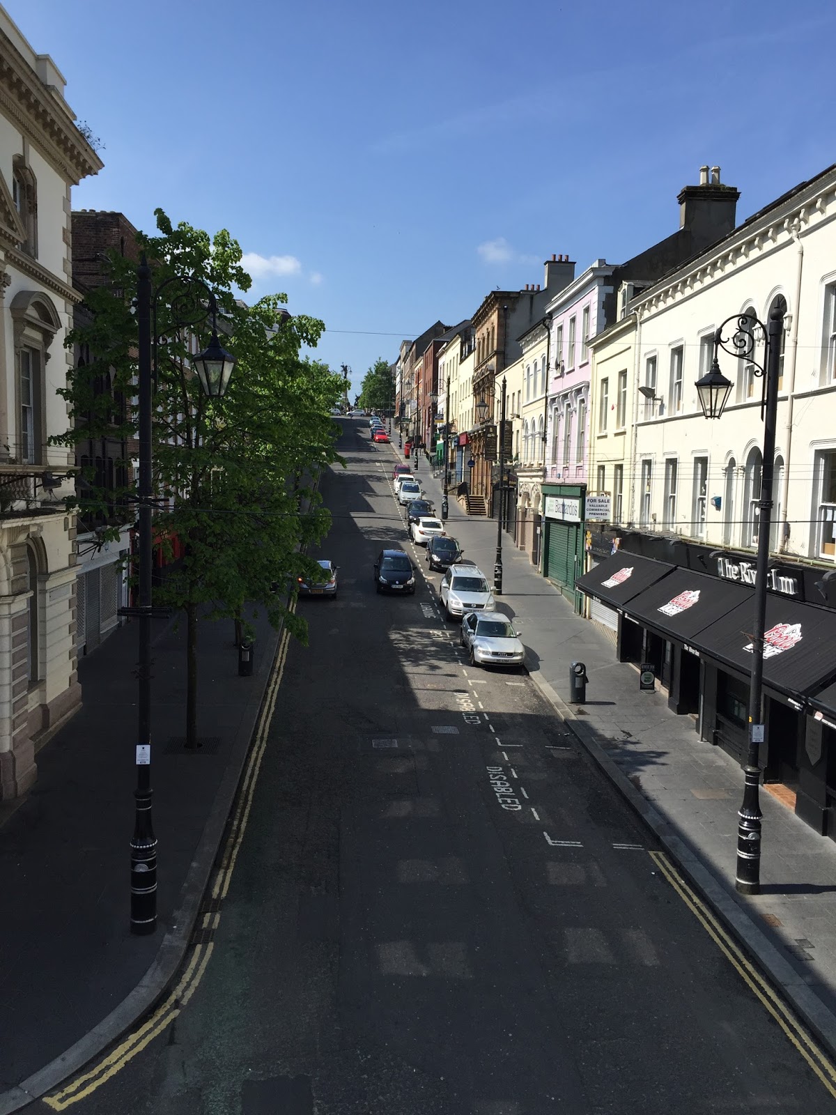
Before hitting the road to County Mayo we went for a look at
the walled city of Derry (or, as the road signs all put it, in order to satisfy
both unionists and nationalists, “Londonderry/Derry”). We parked on the east
side and walked over the Peace Bridge, designed to be reminiscent of a
handshake, with two large support/suspension pillars, one on each side on
opposite angles but leaning towards each other. The bridge design is meaningful
in the healing of the historical separation of Derry, whereby unionists/ Protestants
moved to the east side of the river and nationalists/ Catholics stayed on the
west side.

Adjacent to the city side of the Peace Bridge is the Guildhall, a stunning
town hall building which now houses a very interesting museum about the Plantation
of Ulster – that is, the plantation of people from England and Scotland to
colonise northern Ireland. The stained glass windows in the Guildhall are a sight to behold.


And I very much enjoyed the Scots Gaelic(?) signage.

Finally we went for a walk around the city walls, a stroll
of about a mile with great views, helpful signage summarising the history –
and cannons still sitting in their long-ago strategic positions.


Then it was off to Co. Mayo and William Bald’s musical bridge
at Bellacorick. It was a pretty long drive, and the Irish roads live up to
their reputation as being not very good – the best it got was one lane and a
shoulder in each direction, with a very occasional passing lane. Some of the
very small villages had a set of traffic lights – at one place, for no apparent
reason we had to stop and wait for at least two minutes… while nothing happened
– there were no vehicles needing to cross or turn into the “main” (I use that
term loosely) road. However the trip was redeemed by the scenery – most of the
way was through quintessential Irish lush rolling countryside; plus now we’re
in the Republic we are in km/h territory (to match the car), rather than mph as
in Northern Ireland. (Not that I’m quite sure most of the time what the actual
speed limit is… I figure the approach “go with the flow” should see me right.)
Once in Co. Mayo we went through some towns whose names have become familiar through the history research: Ballina ("Bell-in-aah", where we spotted Barret Street, perhaps named for Dr Barret, father of William's second wife Matilda?), and Crossmolina ("Cross-ma-line-a", a cute wee place), and finally to Bellacorick. The Bellacorick bridge is a low, multi-arched stone bridge
that crosses a stream at a crossroads, by a now-defunct pub. The idea with the
bridge is that you run a stone along the capping stones, and it makes “music”.
Now don’t go thinking melody or scale or tuneful music of any sort – but the capping
stones have clearly different tones, and some of them when struck ring and
resonate as if they’re made of steel. One of the things that’s really neat
about the bridge is how obvious it is that people have been playing there for
many, many years: on both sides of the bridge, the surface of the capping
stones on the side nearest the road is worn smooth, while on the outer areas
the surface is still rough. (One of the things that’s not really neat about the
bridge is that there’s no footpath, so playing has to be interrupted every time
a car goes past, as you flatten yourself against the side wall for the sake of
safety!)


Once we were done there we drove down through the bogs area
to Castlebar, home of William Bald and his family from 1809 until
1820-something. One of the projects William did in that time was to map and
report on the bogs (I’ve got a pic of one of the maps as my Facebook cover page
now). It must have been pretty difficult work in some parts, as the land was
rough and there were (and are) few roads or inhabitants. The landscape going
into Bellacorick and the first part of the road from Bellacorick to Castlebar
is quite different from what we saw earlier in the day. It’s brown and scrubby rather
than green, and there are big, rounded, barren-looking hills in the middle
distance. The road reminded me of (a much longer version of) Collins Road near
Hamilton, which undulates (bumps its way) across the peat swamp.

No comments:
Post a Comment